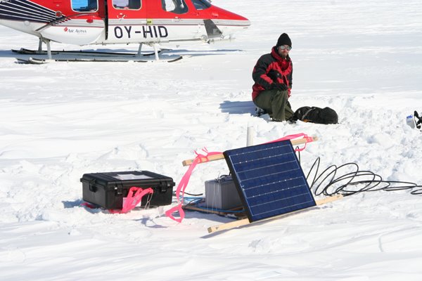
Sermeq Kujalleq is very large and difficult to travel across; we are therefore relying entirely on helicopter support. We have deployed 4 “continuous” GPS sites along the main channel of the glacier. These sites will hopefully run for 2+ years and give us information regarding the seasonality of the flow field. We have also deployed 7 “temporary” GPS sites on the nearby ice sheet to see how much the ice sheet is affected by the acceleration and retreat of the main channel. These sites were only occupied for 1-2 weeks and then moved to a new location. They will be redeployed next year to see what changes, if any, have occurred.
Since we feel that the glacier’s stability is largely influenced by what’s happening in the ocean, we also have some interest in studying the processes at/near the terminus. So on our fourth day of flying we had the pilot remove one of the doors so that we could drop surveying mirrors onto seracs (ice towers) – these mirrors could be surveyed from camp. (Don’t worry Mom, it wasn’t me hanging on to the outside of a hovering helicopter – I was at camp making sure that we could see the mirrors.) That same day we put out two additional GPS; one was low on the glacier, the other was on top of a large overturned iceberg. I think I can say that that was the first time that I had stood on ice that used to be at the base of a glacier. Pretty cool.
Finally, we set-up a weather station (temperature and precipitation), an ablation meter (measures melt rates), two time-lapse cameras, and a tide gauge.

1 comment:
Jason, I'm sure I'm not the only one glad to find out you were not the one dangling from the helicopter!
Mom
Post a Comment